Methodology
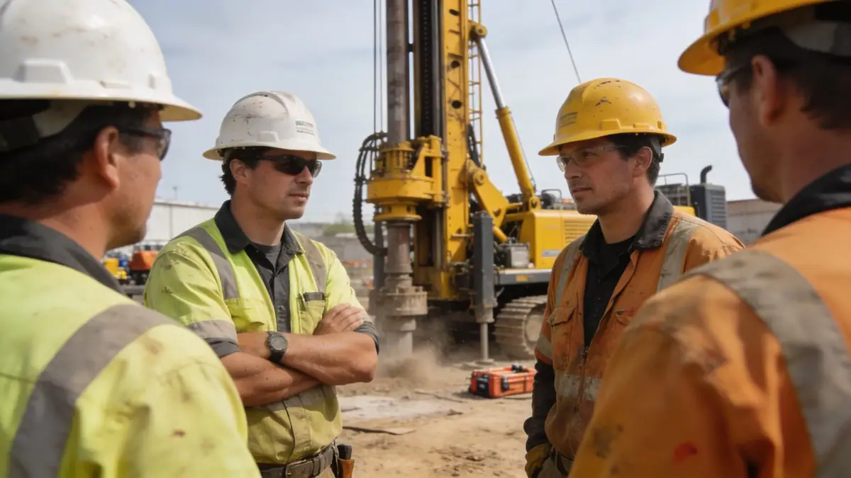
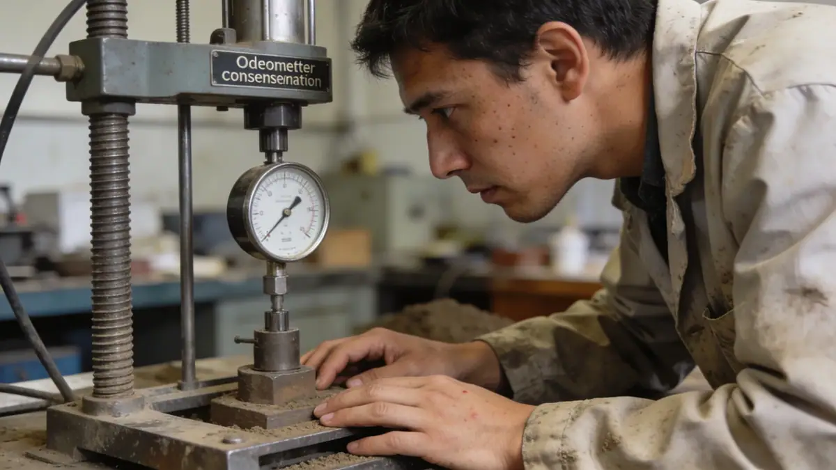
Our methodology for geotechnical engineering in Wellington integrates thorough site investigation with advanced analytical techniques. We begin with a review of existing geological maps and borehole records, followed by field exploration using spt boring and cone penetration testing (CPT) to characterize subsurface conditions. Laboratory testing on recovered samples, including classification, strength, and consolidation tests, provides parameters for design. Seismic hazard assessments consider the Wellington Fault and subduction zone sources, with site-specific response analyses using equivalent linear or nonlinear methods. All work adheres to NZS 1170.5 and Eurocode 8 where applicable.
Reference Technical Parameters
| Parameter | Reference Value |
|---|---|
| Predominant soil type | Alluvial gravels, sands, silts, and colluvium over greywacke bedrock |
| Maximum seismic acceleration (PGA) | 0.4g to 0.6g (NZS 1170.5, return period 500 years) |
| Typical groundwater level | 2–6 m below ground surface, variable with season |
| Bedrock depth | 5–30 m in valley floors; outcrops on hillsides |
| Typical N60 range (SPT) | 10–30 in alluvial deposits; >50 in weathered greywacke |
Local Considerations — Wellington
Wellington's geotechnical landscape is shaped by its position on the active Wellington Fault and its complex Quaternary geology. The central business district is built on reclaimed land and alluvial terraces, where loose sands and soft silts pose liquefaction risks. In contrast, hillside suburbs like Karori and Northland are underlain by colluvium and weathered greywacke, requiring careful slope stability assessments and retaining wall design. Groundwater levels are shallow in coastal areas and deeper on slopes. Our team addresses these challenges with site-specific investigations, integrating seismic hazard analysis and foundation solutions that respect local regulations and land-use planning.
Request a Quote
Our team reviews your project and issues an initial report at no cost.
Or write us directly at [email protected]
Services in Wellington
Locations covered in Wellington
Applicable Standards
- NZS 1170.5:2004 (Structural Design Actions – Earthquake Actions)
- NZS 4404:2010 (Land Development and Subdivision Infrastructure)
- AS 1726:2017 (Geotechnical Site Investigations)
- ASTM D1586 (Standard Test Method for SPT)
- Eurocode 7 (Geotechnical Design – informative reference)
Frequently Asked Questions
What are the typical soil types encountered in Wellington?
Wellington's soils include alluvial gravels, sands, and silts in the valley floors and coastal margins, while hillside areas feature colluvium and residual soils overlying greywacke bedrock. The variable nature requires thorough site investigation for each project.
How does seismic hazard affect geotechnical design in Wellington?
Wellington is in a high-seismicity zone due to the Wellington Fault and the Hikurangi subduction zone. Peak ground accelerations can reach 0.4–0.6g. Geotechnical design must account for liquefaction, fault rupture, and slope instability, following NZS 1170.5 and site-specific seismic hazard assessments.
Are geotechnical investigations mandatory for building projects in Wellington?
Yes, the New Zealand Building Code requires geotechnical investigations for most structures, especially in areas prone to liquefaction, slope instability, or fault rupture. Local councils enforce these requirements through resource consent and building consent processes.