Methodology

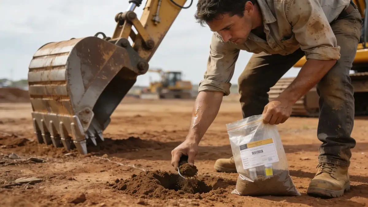
Our methodology for geotechnical engineering in Christchurch integrates advanced field testing and laboratory analysis tailored to local conditions. We employ spt boring to assess soil strength and stratigraphy, complemented by cone penetration testing (CPT) for continuous profiling. Sampling follows ASTM D1586 standards, with intervals typically every 1.5 m. In the laboratory, our soil mechanics laboratory conducts classification tests (Atterberg limits, grain size distribution) and strength tests (direct shear, triaxial) to characterize materials. This data informs slope stability and settlement analyses, ensuring designs are robust for Christchurch's seismic environment.
Reference Technical Parameters
| Parameter | Reference Value |
|---|---|
| Predominant soil type | Alluvial sands, silts, and gravels; loess and volcanic rock in Port Hills |
| Maximum seismic acceleration (PGA) | 0.4g (NZS 1170.5, Christchurch zone factor) |
| Typical groundwater level | 1 to 3 m below ground surface in eastern areas |
| Bedrock depth | Variable; from 0 m (exposed) to over 100 m in coastal plains |
| Typical N60 range | 5–15 blows/ft in loose sands; 30–50 in stiff loess and gravels |
Local Considerations — Christchurch
Christchurch's geotechnical landscape is shaped by the Canterbury Plains alluvial deposits and the Banks Peninsula volcanic formations. Liquefaction risk is high in eastern areas with loose, saturated sands, as evidenced during the 2010–2011 earthquakes. Our team integrates seismic hazard analysis per NZS 1170.5 into every project. For sites near the Avon River, we recommend slope stability assessments to address lateral spreading. In contrast, Port Hills sites require rockfall mitigation and foundation design on weathered basalt. Typical challenges include variable groundwater levels and the need for deep foundations to bypass liquefiable layers.
Request a Quote
Our team reviews your project and issues an initial report at no cost.
Or write us directly at [email protected]
Services in Christchurch
Applicable Standards
- NZS 1170.5:2004 (Structural Design Actions – Earthquake Actions)
- NZS 3604:2011 (Timber-framed Buildings)
- ASTM D1586 (Standard Test Method for SPT)
- Eurocode 7 (Geotechnical Design – reference standard)
Frequently Asked Questions
What are the primary soil types encountered in Christchurch?
Christchurch's soils are predominantly alluvial sands, silts, and gravels deposited by the Waimakariri River. In the Port Hills, weathered volcanic rock and loess are common. The eastern suburbs feature loose, saturated sands prone to liquefaction, while western areas have stiffer soils and bedrock at shallow depths.
How do seismic requirements affect geotechnical engineering in Christchurch?
Christchurch is in a high seismic zone (Z factor 0.4 per NZS 1170.5). Geotechnical investigations must assess liquefaction potential, site class, and foundation bearing capacity under seismic loading. Retaining walls and slopes require dynamic analysis to ensure stability during earthquakes.
Is a geotechnical investigation mandatory for building in Christchurch?
Yes, for most new buildings and significant alterations. The Christchurch District Plan and NZS 3604 require site-specific geotechnical reports to verify ground conditions and mitigate liquefaction risk. Our studies comply with council requirements and ensure safe, insurable foundations.