
Methodology
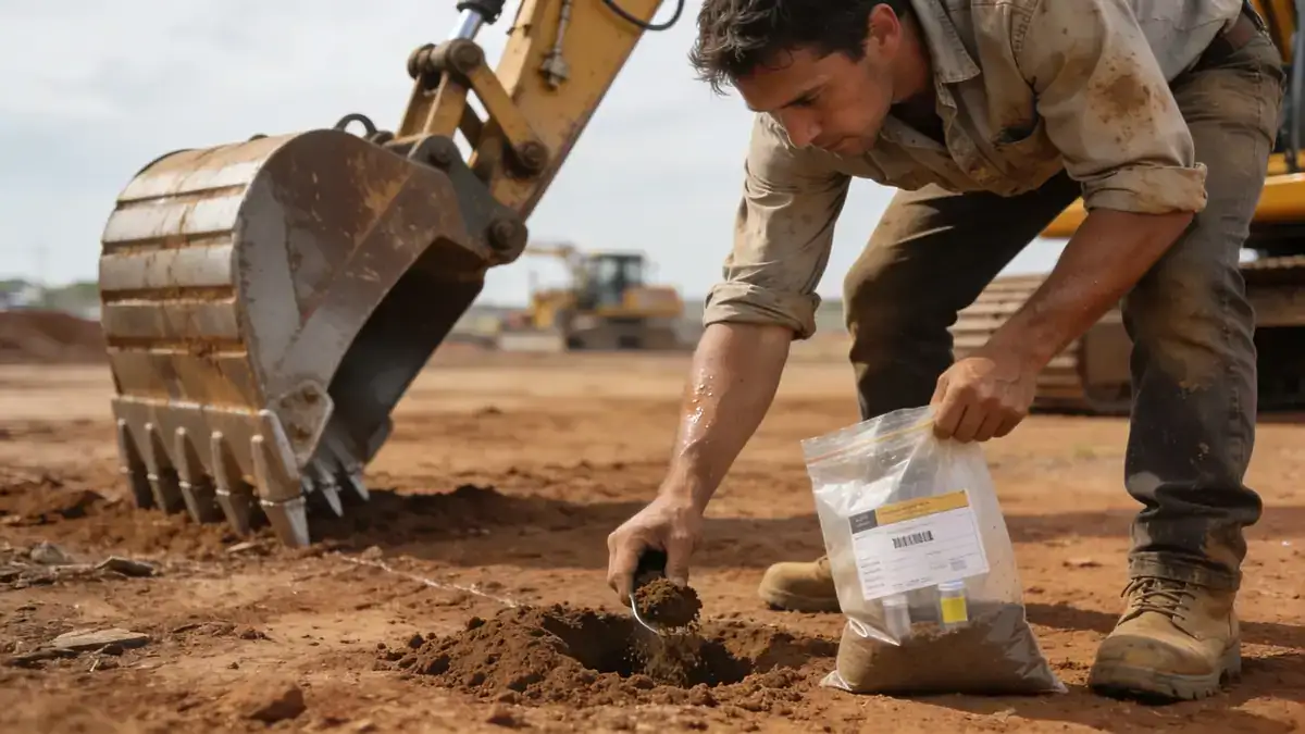
Our methodology for geotechnical engineering in Whangarei begins with a thorough desk study and site reconnaissance to identify geological risks. We then execute a targeted field investigation program, including spt boring at intervals of 1.0–1.5 m per ASTM D1586, to characterize soil strata and obtain N60 values. In-situ testing is complemented by laboratory analyses of undisturbed and remolded samples. We apply the principles of Eurocode 7 and NZS 1170.5 for seismic design, using measured shear wave velocities to classify site subsoil class. Our integrated approach ensures that all geotechnical parameters are derived from site-specific data, minimizing uncertainty and providing a robust basis for foundation design.
Reference Technical Parameters
| Parameter | Reference Value |
|---|---|
| Predominant soil type | Weathered greywacke and volcanic clays |
| Maximum seismic acceleration (PGA) | 0.3g (500-year return period) |
| Typical groundwater level | 2–5 m below ground surface |
| Bedrock depth | 5–20 m (variable) |
| Typical N60 range | 10–30 blows/300mm |
Local Considerations — Whangarei
Whangarei's geology is dominated by weathered greywacke and volcanic soils, with shallow groundwater typically at 2–5 m depth. The region is in Seismic Zone 3 under NZS 1170.5, with a design PGA of 0.3g for the 500-year return period. Soil types vary from stiff clays in the city center to loose alluvial deposits near the Hātea River. Our slope stability assessments are critical for developments on the surrounding hillsides, where cut-and-fill operations are common. We also provide specialized retaining wall design for terraced sites. For comprehensive regional support, our team coordinates with geotechnical engineering en Auckland to ensure consistency across Northland projects.
Request a Quote
Our team reviews your project and issues an initial report at no cost.
Or write us directly at [email protected]
Services in Whangarei
Applicable Standards
- NZS 1170.5:2004 Structural design actions – Earthquake actions
- NZS 3604:2011 Timber-framed buildings
- NZS 4402:1986 Methods of testing soils for civil engineering purposes
- ASTM D1586 Standard Test Method for Standard Penetration Test (SPT)
- Eurocode 7: Geotechnical design (adopted for specific projects)
Frequently Asked Questions
What are the typical soil conditions in Whangarei for geotechnical engineering?
Soils in Whangarei consist mainly of weathered greywacke and volcanic clays, with variable thickness of alluvial deposits near waterways. Groundwater is commonly shallow, at 2–5 m depth. These conditions require careful evaluation for foundation design to avoid issues like settlement or liquefaction during seismic events.
Which seismic standards apply to geotechnical engineering in Whangarei?
Whangarei falls under Seismic Zone 3 as per NZS 1170.5, with a design peak ground acceleration of 0.3g. Geotechnical investigations must determine site subsoil class and account for local amplification effects. Our team applies these standards to ensure compliance and safety.
Are geotechnical studies mandatory for construction projects in Whangarei?
Yes, under the New Zealand Building Code, all significant structures require a geotechnical investigation to confirm ground bearing capacity and seismic design parameters. Local councils in Whangarei typically mandate these studies for new builds, especially on sloping sites or near waterways.