Methodology
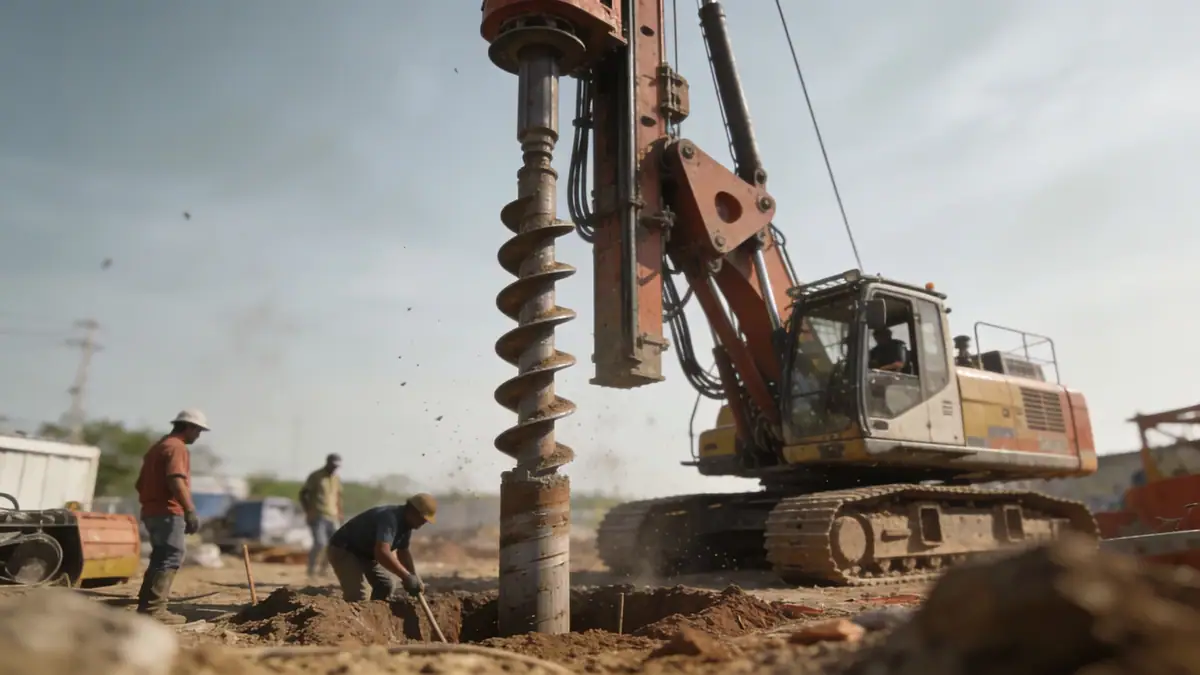
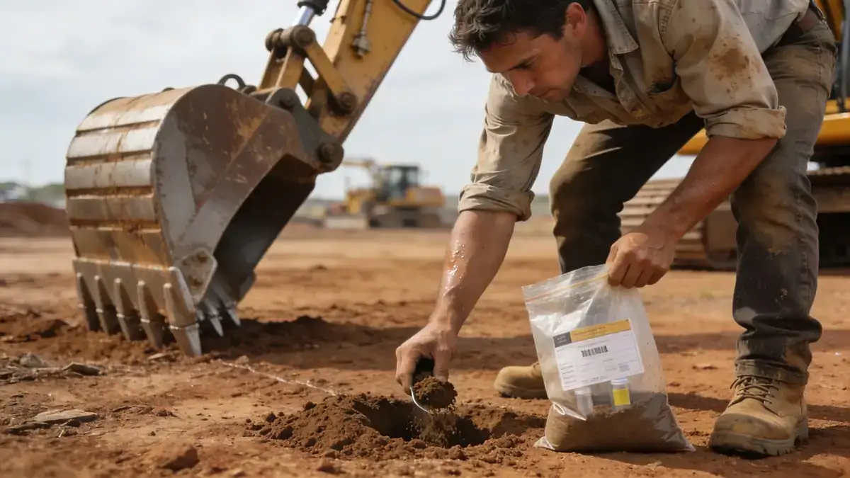
Our methodology for geotechnical engineering in Invercargill integrates field and laboratory testing tailored to the local geology. We begin with a desk study of existing borehole records and geological maps, followed by a site reconnaissance. Field investigations typically include spt boring to obtain soil samples and measure N60 values, supplemented by cone penetration tests (CPT) for continuous profiling. In our soil mechanics laboratory, we perform classification, strength, and consolidation tests according to ASTM standards. The data is analysed to develop a ground model that informs foundation design, slope stability, and earthworks specifications, all within the framework of NZS 1170.5 and Eurocode 7.
Reference Technical Parameters
| Parameter | Reference Value |
|---|---|
| Predominant soil type | Alluvial silts and sands with peat layers |
| Typical N60 range (SPT) | 5–30 blows/ft |
| Groundwater depth | 1–3 m below ground surface |
| Maximum seismic acceleration (PGA) | 0.4g (NZS 1170.5, 500-year return) |
| Bedrock depth | Variable, typically >30 m (deep alluvial basin) |
Local Considerations — Invercargill
Invercargill sits on a deep alluvial plain underlain by Quaternary sediments, with soft soils prone to liquefaction under seismic loading. The high water table (often within 1–3 m) complicates excavations and requires dewatering or waterproofing measures. The region experiences moderate seismicity, with design PGA up to 0.4g per NZS 1170.5. Local building practices often involve piled foundations to bypass compressible layers, especially in southern suburbs like Awarua. Our experience includes projects near the estuary, where peat and organic clays demand careful settlement analysis. For projects requiring regional coordination, our geotechnical engineering en Dunedin office supports larger infrastructure studies.
Request a Quote
Our team reviews your project and issues an initial report at no cost.
Or write us directly at [email protected]
Services in Invercargill
Applicable Standards
- NZS 1170.5:2004 Earthquake actions
- NZS 3604:2011 Timber-framed buildings
- ASTM D1586 Standard Test Method for SPT
- Eurocode 7 Geotechnical design (reference)
- BS 5930 Code of practice for site investigations
Frequently Asked Questions
What are the typical soil conditions in Invercargill?
Invercargill's soils are predominantly alluvial silts, sands, and clays, often interbedded with peat layers. The water table is shallow, typically 1 to 3 metres deep. These conditions require careful geotechnical assessment to mitigate liquefaction risk and differential settlement.
Do I need a geotechnical investigation for a residential build in Invercargill?
Yes, especially if the site is in a liquefaction-prone area or near the coast. The New Zealand Building Code (NZS 3604) may allow simplified foundations for some sites, but a geotechnical investigation is recommended to confirm soil bearing capacity and seismic classification.
What seismic design standards apply in Invercargill?
Invercargill falls within seismic zone factor Z = 0.4 per NZS 1170.5. Structures must be designed for a return period of 500 years. Site-specific soil classification (Class B, C, or D) is determined from shear wave velocity or SPT N60 data, affecting the design response spectrum.