Methodology
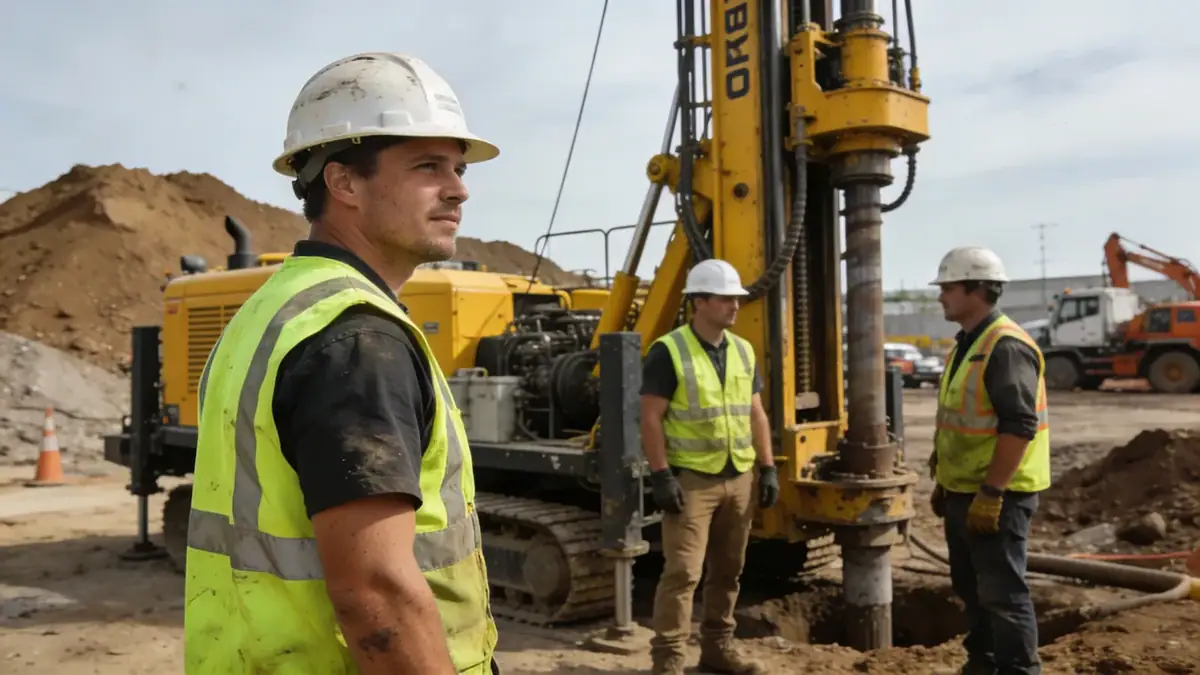
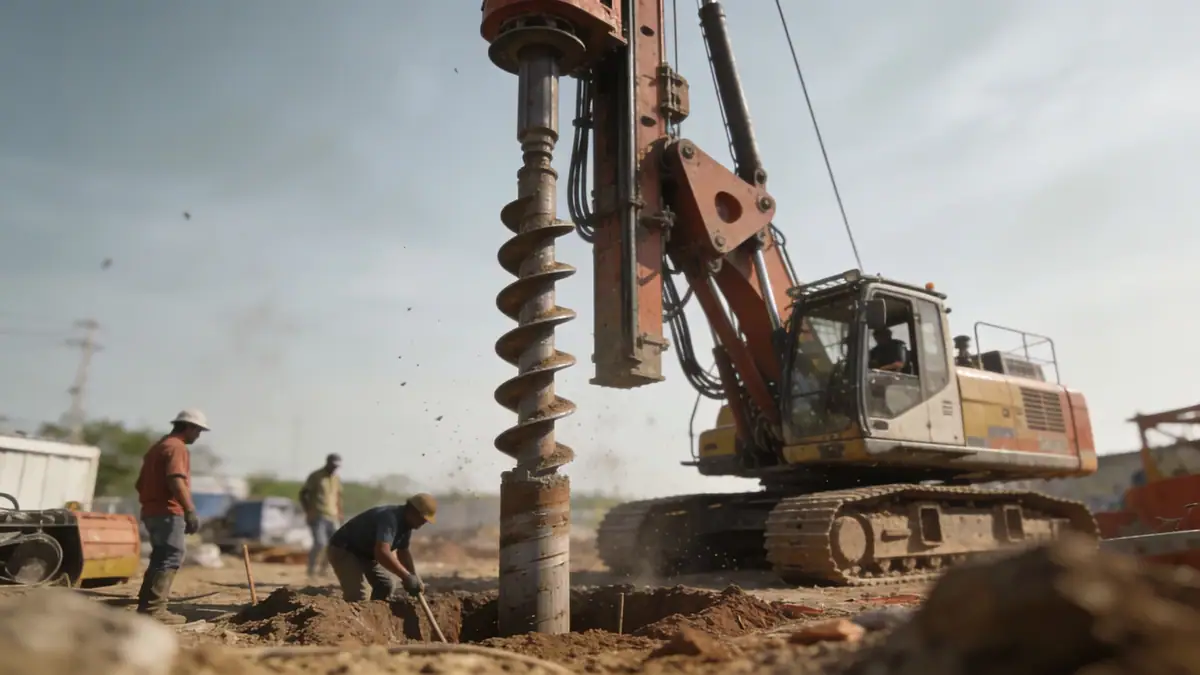
Our methodology for geotechnical engineering in Gisborne integrates field investigations, laboratory testing, and numerical analysis. We begin with a desk study of regional geology and seismic history, followed by targeted intrusive investigations such as spt boring to characterize soil strata and groundwater conditions. In the laboratory, we determine index properties, strength, and consolidation parameters per relevant standards. For seismic design, we evaluate liquefaction potential and site class according to NZS 1170.5. All findings are synthesized into a geotechnical report that provides foundation recommendations, earthworks specifications, and construction quality control measures. This systematic approach ensures reliable outcomes for every project.
Reference Technical Parameters
| Parameter | Reference Value |
|---|---|
| Predominant soil type | Alluvial silts and sands, with peat layers in lowlands |
| Maximum seismic acceleration (PGA) | 0.4 g (for 500-year return period, NZS 1170.5) |
| Typical groundwater level | 1.0–2.5 m below ground surface |
| Bedrock depth | Variable; 10–30 m in the city center, shallower on hills |
| Typical N60 range | 4–15 in soft alluvium; 20–40 in dense sands |
Local Considerations — Gisborne
Gisborne sits on the Poverty Bay flats, underlain by deep Quaternary alluvium from the Waipaoa River system. This sedimentary sequence typically comprises interbedded silts, sands, and gravels, with localized peat layers near the coast. High groundwater levels (1–2 m) are common, requiring dewatering considerations for excavations. The region is seismically active due to the Hikurangi subduction zone, with design accelerations up to 0.4 g. Liquefaction potential is moderate to high in loose saturated sands, particularly in the Kaiti and Mangapapa suburbs. Our firm integrates these factors into every geotechnical assessment, referencing the New Zealand Geotechnical Database. For broader regional context, our team works closely with geotechnical engineering en Auckland to maintain consistent quality across New Zealand projects.
Request a Quote
Our team reviews your project and issues an initial report at no cost.
Or write us directly at [email protected]
Services in Gisborne
Applicable Standards
- NZS 1170.5:2004 (Structural Design Actions – Earthquake)
- New Zealand Building Code (NZBC) – Clause B1 Structure and B2 Durability
- ASTM D1586 (Standard Test Method for SPT)
- NZS 4404:2010 (Land Development and Subdivision Infrastructure)
- Eurocode 7 (Geotechnical Design, as referenced in NZ practice)
Frequently Asked Questions
What are the typical soil conditions in Gisborne?
Gisborne’s soils are predominantly alluvial silts, sands, and gravels deposited by the Waipaoa River. Peat and organic layers occur in low-lying areas. Groundwater is typically shallow (1–2 m). These conditions necessitate careful geotechnical assessment to avoid settlement and liquefaction issues.
Is seismic design mandatory for projects in Gisborne?
Yes, Gisborne is in a high seismic zone due to its proximity to the Hikurangi subduction zone. The New Zealand Building Code requires compliance with NZS 1170.5 for earthquake actions. A site-specific seismic hazard analysis, including liquefaction assessment, is often necessary for significant structures.
Do all construction projects in Gisborne require a geotechnical investigation?
While not legally mandatory for all minor works, most local councils enforce geotechnical reporting for subdivisions, retaining walls, and buildings over two storeys. Even for small projects, a geotechnical assessment is strongly recommended to mitigate risks from soft soils and seismic activity.